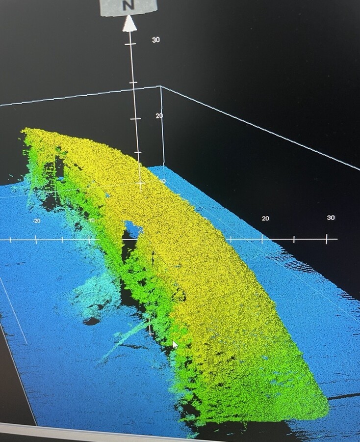
In July 2022, the project areas have been surveyed to acquire bathymetric information (Underwater depth of the seabed). These data are crucial to confirm the land design and estimate accurately the quantities of material to be dredged and brought to shore.
During the post-treatment, our survey team was really pleased to discover on their screen not only survey data but History. We are enthusiast to share it with you today. The picture shown in this post is a 3D view of the famous British Loyalty Shipwreck, lying in Addu waters since 1946. Since 2018, the British Loyalty Shipwreck is a Marine Protected Area. Specific environmental measures will be implemented during the construction phases to minimize the environmental impact on this living reef and famous diving site. For instance, dredge vessel shall not enter the marked protected area boundary.
